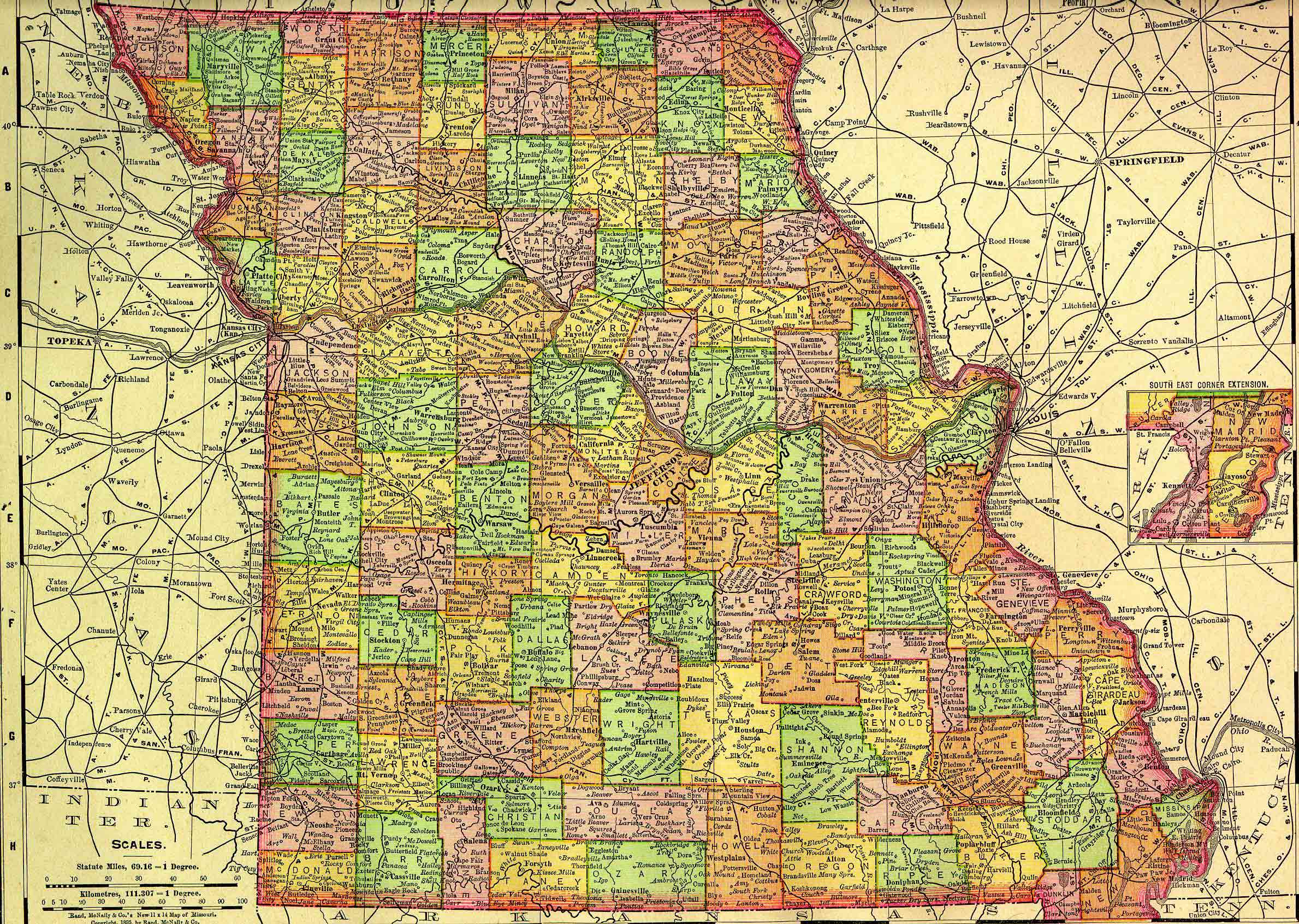
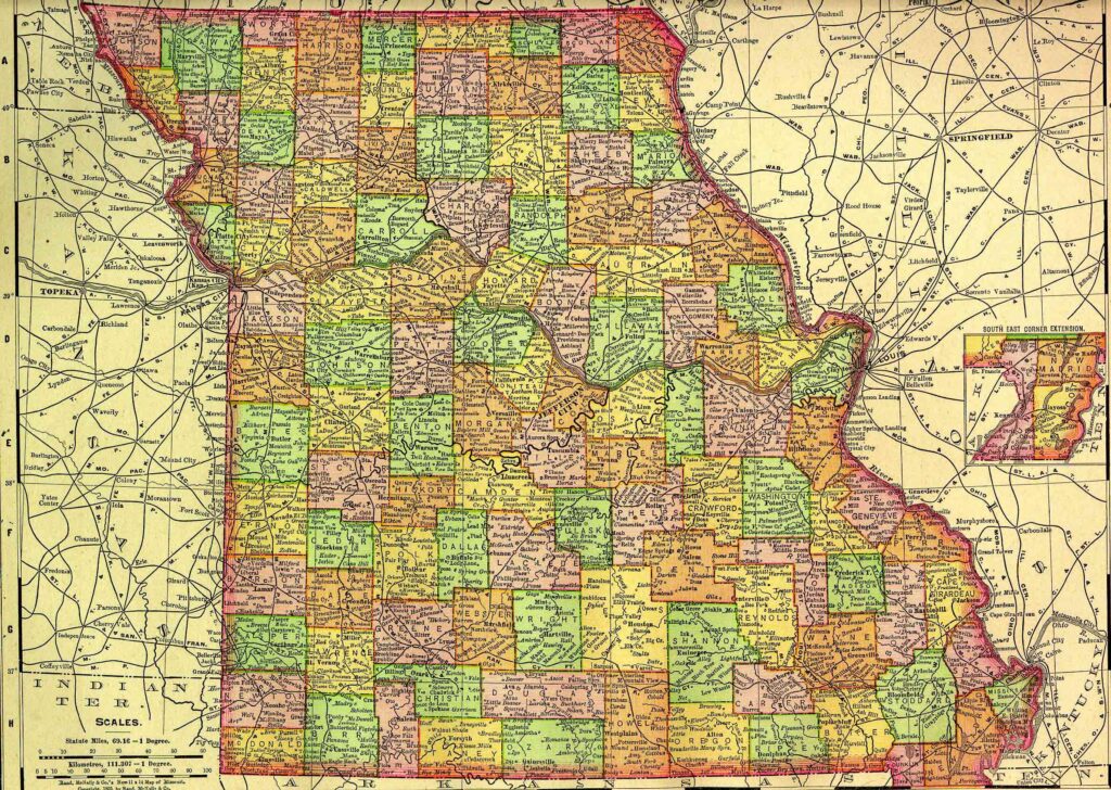
Missouri, one of the central United States, is bounded on the north by Iowa; on the east by Illinois, Kentucky, and Tennessee, from which it is separated in part by the Mississippi River; on the south by Arkansas; and on the west by Oklahoma, Kansas, and Nebraska. It lies between about 36º and 40º 37′ north latitude, and between 89º 5′ and 95º 46′ west longitude. The state measures about 280 miles from north to south and about 240 miles from east to west. It contains approximately 69,707 square miles, or 44,612,480 acres.
This state project is part of the much larger American History & Genealogy Project or better known by the abbreviation of AHGP. It has been in existence online since 2000 and over the years has been spread out across the web. These pages are an attempt to consolidate it under one website of the larger project.
Missouri Information
Missouri History
- Brief History of Missouri as written in 1867
- Brief History of Missouri Railroads, as written in 1881
- History of Northeast Missouri
- Missouri Military Forts
- Timeline of Early Missouri History
Missouri Counties
- Adair County
- Andrew County
- Atchison County
- Audrain County
- Barry County
- Barton County
- Bates County *
- Benton County
- Bollinger County
- Boone County
- Buchanan County *
- Butler County
- Caldwell County
- Callaway County
- Camden County
- Cape Girardeau County
- Carroll County
- Carter County
- Cass County
- Cedar County
- Chariton County
- Christian County
- Clark County
- Clay County
- Clinton County
- Cole County
- Cooper County
- Crawford County
- Dade County
- Dallas County
- Daviess County
- DeKalb County
- Dent County
- Douglas County
- Dunklin County
- Franklin County
- Gasconade County
- Gentry County
- Greene County
- Grundy County
- Harrison County
- Henry County
- Hickory County
- Holt County
- Howard County
- Howell County
- Iron County
- Jackson County
- Jasper County
- Jefferson County
- Johnson County
- Knox County
- Laclede County
- Lafayette County
- Lawrence County
- Lewis County
- Lincoln County
- Linn County
- Livingston County
- McDonald County
- Macon County
- Madison County
- Maries County
- Marion County
- Mercer County
- Miller County
- Mississippi County
- Moniteau County
- Monroe County
- Montgomery County
- Morgan County *
- New Madrid County
- Newton County
- Nodaway County
- Oregon County
- Osage County
- Ozark County
- Pemiscot County
- Perry County
- Pettis County
- Phelps County
- Pike County
- Platte County
- Polk County
- Pulaski County
- Putnam County
- Ralls County
- Randolph County
- Ray County
- Reynolds County
- Ripley County
- St. Charles County
- St. Clair County
- Ste. Genevieve County
- St. Francois County
- St. Louis County
- St. Louis City County
- Saline County
- Schuyler County
- Scotland County
- Scott County
- Shannon County
- Shelby County
- Stoddard County
- Stone County
- Sullivan County
- Taney County
- Texas County
- Vernon County
- Warren County
- Washington County
- Wayne County
- Webster County
- Worth County
- Wright County
Back to: American History & Genealogy Project