Colorado Gazetteer: “L” Locations
The following geographic names are an alphabetical listing of locations in Colorado in 1906. This page contains those geographic locations that start with the letter L.
The following geographic names are an alphabetical listing of locations in Colorado in 1906. This page contains those geographic locations that start with the letter L.
The following geographic names are an alphabetical listing of locations in Colorado in 1906. This page contains those geographic locations that start with the letter K.
The following geographic names are an alphabetical listing of locations in Colorado in 1906. This page contains those geographic locations that start with the letter J.
The following geographic names are an alphabetical listing of locations in Colorado in 1906. This page contains those geographic locations that start with the letter I.
The following geographic names are an alphabetical listing of locations in Colorado in 1906. This page contains those geographic locations that start with the letter H.
The following geographic names are an alphabetical listing of locations in Colorado in 1906. This page contains those geographic locations that start with the letter G.
The following geographic names are an alphabetical listing of locations in Colorado in 1906. This page contains those geographic locations that start with the letter F.
The following geographic names are an alphabetical listing of locations in Colorado in 1906. This page contains those geographic locations that start with the letter E.
The following geographic names are an alphabetical listing of locations in Colorado in 1906. This page contains those geographic locations that start with the letter D.
The following geographic names are an alphabetical listing of locations in Colorado in 1906. This page contains those geographic locations that start with the letter C.
The following geographic names are an alphabetical listing of locations in Colorado in 1906. This page contains those geographic locations that start with the letter B.
The following geographic names are an alphabetical listing of locations in Colorado in 1906. This page contains those geographic locations that start with the letter A.
Colorado is centrally located in the United States, bordered by Wyoming, Nebraska, Kansas, New Mexico, and Utah. The state has a quadrilateral shape, with its northern and southern boundaries defined by the forty-first and thirty-seventh parallels of latitude. The gazetteer lists various locations across the state, including notable stations and geographical features. This information is compiled by the United States Geological Survey and published in 1906.
Colorado, located centrally in the U.S., is bordered by Wyoming, Nebraska, Kansas, New Mexico, and Utah. It features diverse topography: high plains, the Rocky Mountains, and extensive plateaus. The state boasts numerous peaks exceeding 14,000 feet and a gross land area of 103,658 square miles. Its average elevation is the highest among all states at 6,800 feet. The climate is characterized by significant temperature variations and limited rainfall, impacting agriculture, which relies heavily on irrigation. The state has a rich history, shaped by Native American tribes and waves of settlers, particularly during the gold rush.
Kit Carson County, located in eastern Colorado, is a square-shaped region bordered by Yuma County, Cheyenne County (Kansas and Colorado), and Lincoln County. It spans approximately 2,162 square miles and is part of the American History Genealogy Project (AHGP), aimed at consolidating historical and genealogical resources. Key resources include the Kit Carson County History Book, historical photos, cemetery records, newspaper obituaries, and marriage records. This project has been expanding online since 2000, providing valuable insights into the county’s history and genealogy.
Colorado, a rectangular state in the western U.S., is bordered by Wyoming, Nebraska, Kansas, New Mexico, Oklahoma, and Utah. Spanning approximately 104,094 square miles, it has been part of the American History and Genealogy Project since 2000, aiming to consolidate historical and genealogical resources under one platform. This includes comprehensive listings such as gazetteers, military burials, and county information, enriching the study of Colorado’s history and genealogy.
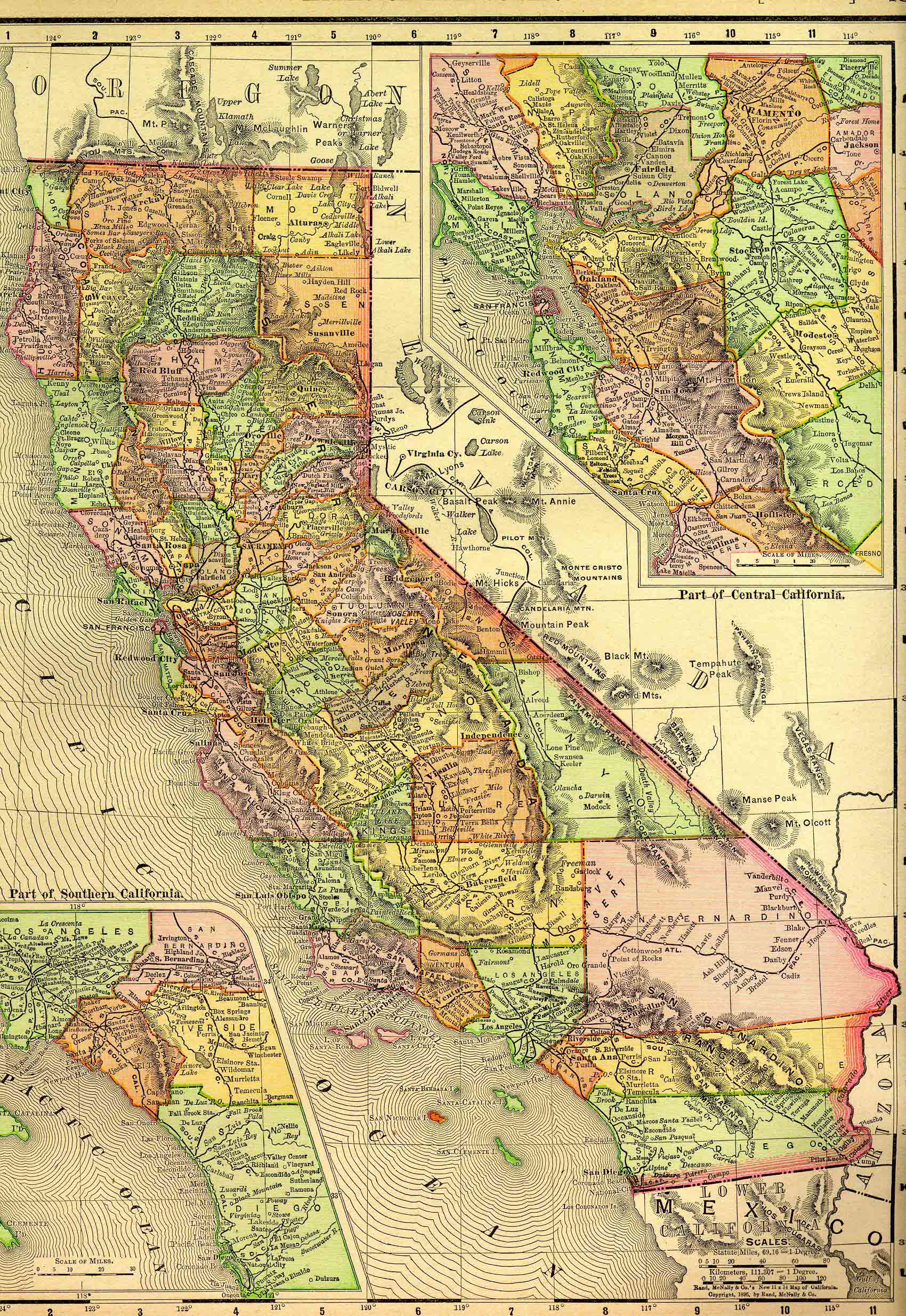
California is bordered by Oregon, Nevada, Arizona, Baja California, and the Pacific Ocean, covering approximately 163,696 square miles. This project, part of the American History Genealogy Project (AHGP) launched in 2000, consolidates historical resources about California’s history, including military forts, early narratives, and pioneering experiences from the Gold Rush to the early 1900s. It explores interactions among diverse peoples, community growth, and California’s transformation into a state embodying American dreams. The collection features various directories, seaports, mining claims, and missions, aimed at enhancing genealogical and historical research.
The content provides a comprehensive overview of the counties in California as described in the 1890 California State Gazetteer. It includes details such as geographic location, population estimates, major cities, prominent industries, agricultural outputs, and assessed valuations from 1889. Highlights include Alameda County’s rapid growth as a fruit production hub, Alpine County’s mining focus, and Los Angeles County’s remarkable population increase. Other counties like Napa and Sonoma are noted for wine production, while agricultural developments are prominent across various regions, reflecting California’s diverse economic landscape during that time.
William F. Kirsch partnered with Jefferson Davis Block in 1909, contributing nearly sixty years to their law firm. A distinguished graduate from Washington University School of Law, Kirsch was instrumental in real estate and drainage law in Northeast Arkansas. He held leadership roles at the National Bank of Commerce and was known for his trial advocacy, often participating in significant cases. Despite his age, he maintained an impressive work ethic, arriving at the office by 6:30 a.m. Kirsch was also a community speaker and had two children, including William F. Kirsch, Jr., who had a notable legal career in Memphis.
Jefferson Davis Block relocated his law practice to Paragould in 1889, having already served in the Arkansas House and as a prosecutor. He married Lena Hicks shortly after moving. Block was a skilled trial lawyer involved in significant swamp land litigation and faced a dramatic incident in his office involving gunfire. He later helped establish the National Bank of Commerce and served as a delegate to the Arkansas Constitutional Convention. Block, who passed away in 1929, was highly regarded for his legal ethics and personal connections in the community.
The ode recounts the story of Nancy Newberry, a widowed farmer in Greene County, who was targeted and shot by a laborer named Conroy for her hidden earnings from corn sales during a drought. After his capture, Conroy penned a reflective ode while incarcerated, lamenting his actions and the consequences he faced.
In 1946, Lucian G. Crowley penned insightful letters to Walter McLeod, exploring their shared ancestry and the history of Greene County, Arkansas. The correspondence discusses family connections, including the Crowley lineage and notable events like the Oliphant Train Robbery. Crowley seeks clarification on various family members and events while sharing personal anecdotes and reflections on historical figures. His research aims to preserve the family history and correct previous misconceptions about their lineage in the context of regional history. Crowley emphasizes the importance of accurate documentation for future generations.

The Greene County Poor Farm, established in 1891 for the care of the impoverished, faced significant deterioration and neglect over the years. Initially well-intentioned, it became synonymous with poor living conditions, leading to public outcry and media scrutiny in the early 1900s. Following numerous reports highlighting its atrocious sanitary conditions, a movement emerged to replace it with the Greene Acres Nursing Home, which opened in 1957. This transition aimed to provide a more humane and efficient care facility for the elderly and less fortunate, reflecting the ongoing community commitment to support vulnerable populations.
In August 1903, Mart Vowell shot and killed William F. Lovejoy near Rector, Arkansas, following years of escalating tension stemming from a prior arrest. Despite Lovejoy’s violent reputation, Vowell was indicted for first-degree murder after several grand jury attempts. His trial in Greene County led to a conviction and a death sentence set for June 9, 1904, despite public petitions for clemency based on his age and Civil War service. Governor Jeff Davis ultimately declined to intervene, and Vowell was executed before a crowd, leaving a divided community in his wake.
Greene County’s Oldest Native Citizens is an article which appeared in print in the 17 July 1958 special Jubilee edition of the Daily Big Picture, a newspaper published at the time in Paragould.