North Dakota, one of the north central United States, is bounded on the north by Canada (Manitoba and Saskatchewan); on the east by Minnesota, from which it is separated by the Red River of the North; on the south by South Dakota; and on the west by Montana. It lies between about 45º 56′ and 49º north latitude, and between 97º and 104º west longitude. The state measures about 212 miles from north to south and about 360 miles from east to west. It contains approximately 70,704 square miles, or 45,250,560 acres.
This state project is part of the much larger American History & Genealogy Project or better known by the abbreviation of AHGP. It has been in existence online since 2000 and over the years has been spread out across the web. These pages are an attempt to consolidate it under one website of the larger project.
North Dakota Information
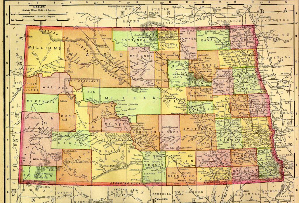
Gray = German
Gold = Canada
Dark Green = Ireland-Canada
Pink = Norway
Light Green = Ireland
Light Blue = Sweden
White = No Data
Source = US Bureau of Census
- North Dakota Cities, Towns and Villages in 1895
This collection lists various towns in North Dakota from 1895. The information details their population, county, area of state located, and available services, such as post offices, railroads, and express offices. - 1894 Pacific States Newspapers Directory – North Dakota
North Dakota History
- North Dakota Indian Tribes
- North Dakota Military Forts
Alphabetical list of forts, reservations, blockhouses, named camps, National and State Homes for soldiers, national cemeteries, etc., in North Dakota from its earliest settlement to 1900.
North Dakota Genealogy
The following are genealogy databases, articles, and directories for statewide genealogy in North Dakota. For specific county genealogy see the county list below.
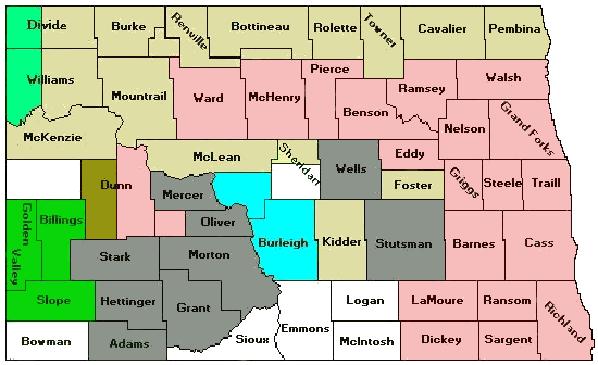
North Dakota Counties
- Adams County
- Barnes County
- Benson County
- Billings County
- Bottineau County
- Bowman County
- Burke County
- Burleigh County
- Cass County
- Cavalier County
- Dickey County
- Divide County
- Dunn County
- Eddy County
- Emmons County
- Foster County
- Golden Valley County
- Grand Forks County
- Grant County
- Griggs County
- Hettinger County
- Kidder County
- LaMoure County
- Logan County
- McHenry County
- McIntosh County
- McKenzie County
- McLean County
- Mercer County
- Morton County
- Mountrail County
- Nelson County
- Oliver County
- Pembina County
- Pierce County
- Ramsey County
- Ransom County
- Renville County
- Richland County
- Rolette County
- Sargent County
- Sheridan County
- Sioux County
- Slope County
- Stark County
- Steele County
- Stutsman County
- Towner County
- Traill County
- Walsh County
- Ward County
- Wells County
- Williams County
What’s New
Back to: American History & Genealogy Project