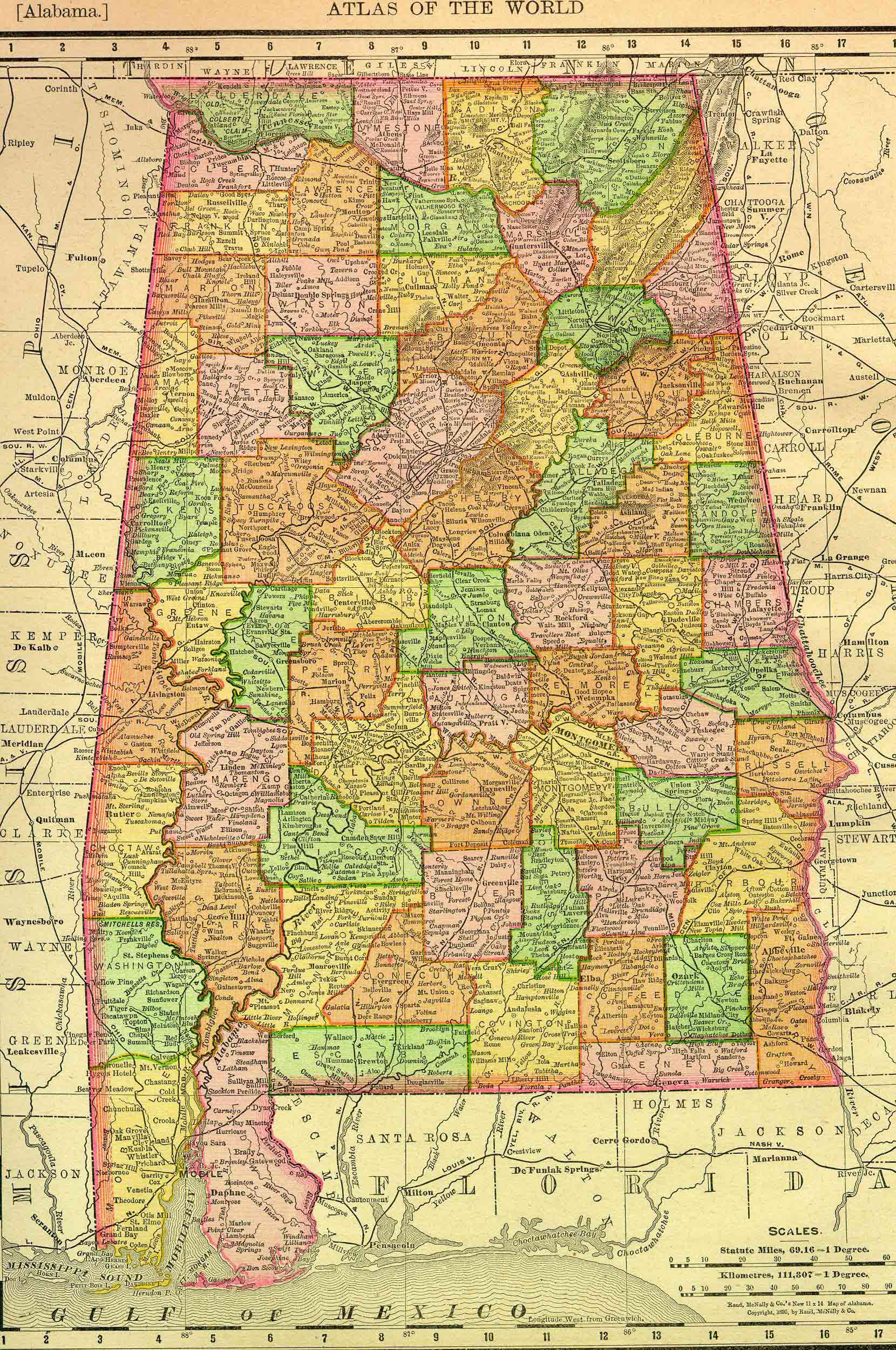
Alabama, one of the southern United States, is bounded on the north by Tennessee; east by Georgia; south by Florida and the Gulf of America; and west by Mississippi. It is between 30º 10′ and 35º north latitude, and between 85º and 88º 30′ west longitude, and between 8º and 11º 30′ west longitude from west. It is 317 miles long from north to south, and 174 broad from east to west. It contains 46,000 square miles, or 28,160,000 acres.
This state project is part of the much larger American History & Genealogy Project or better known by the abbreviation of AHGP. It has been in existence online since 2000 and over the years has been spread out across the web. These pages are an attempt to consolidate it under one website of the larger project.
Alabama Information
- 1861 Alabama Judicial Circuits
- 1860-1861 Catalogue of Cadets, University of Alabama
- Alabama Marriage Index up to 1944
- State of Alabama in 1840
A Complete Descriptive And Statistical Gazetteer Of The United States Of America, By Daniel Haskel, A. M and J. Calvin Smith, Published By Sherman & Smith, 1843
Alabama Genealogy
- Free Alabama Census Images
The collection is a digitization of all the microfilm for the Alabama decennial census from 1830-1930. You can download the microfilm for the census and use those images freely. - Pensioners on the 1840 Southern States Census
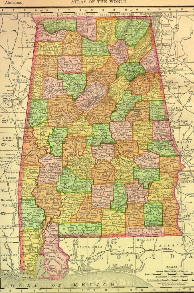
Alabama Counties
- Autauga
- Blount
- Calhoun
- Cherokee
- Cleburne
- Conecuh
- Covington
- Cullman
- DeKalb
- Etowah
- Henry
- Jackson
- Saint Clair
- Talladega
- Tallapoosa
Back to: American History & Genealogy Project